AI · Geospatial · Custom Software

Where spatial intelligence meets enterprise software

IntegraOne delivers tailored AI and WebGIS solutions for organisations that need precision, scale, and deep geospatial expertise — not off-the-shelf answers.

Aerial satellite view of urban coastal area
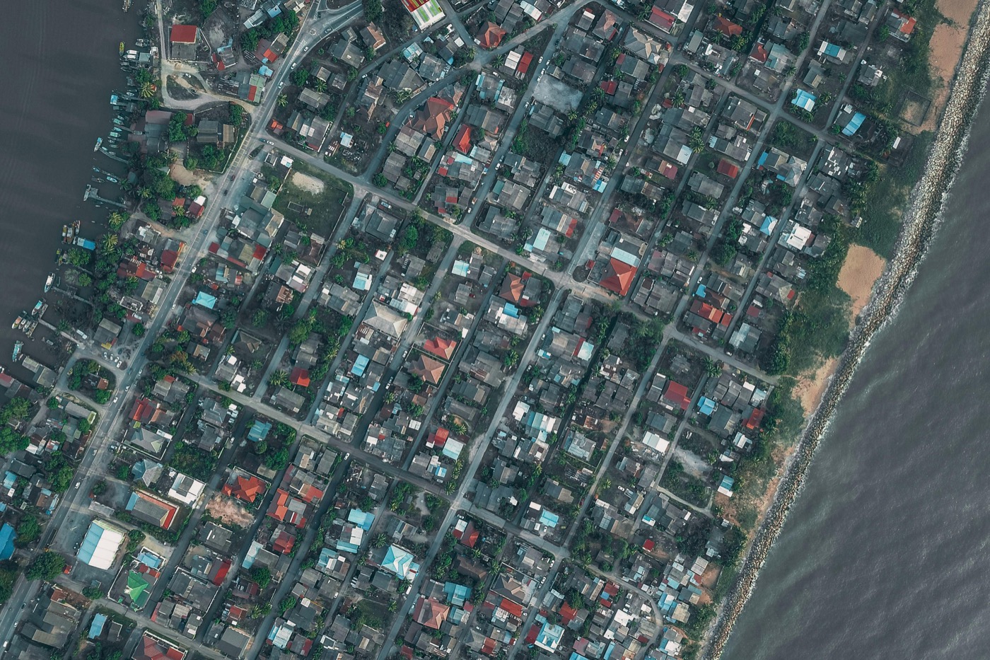
// active analysis layerRGB · 0.5m res · coastal urban
lat 6.2000°N · lon 106.8000°E
zoom 1.00× · res 0.50m
12+
Years in GIS
60+
Projects delivered
3×
Faster time-to-insight
18+
Enterprise clients
AI Software Solution

01 — AI Software Solutions

Intelligent systems
built for real decisions

We design and deploy AI-powered software that goes beyond dashboards — delivering predictive models, natural language interfaces, and autonomous decision-support systems tailored to your domain.

Learn more →
Geospatial Software Solution

02 — Geospatial Software Solutions

Your world,
mapped with precision

From WebGIS platforms to satellite data pipelines and 3D digital twins — we build spatial software that transforms raw location data into actionable intelligence at any scale.

Learn more →
Custom Software Solution

03 — Custom Software Solutions

Software engineered
around your workflow

Not every problem fits an off-the-shelf product. We build bespoke web applications, enterprise platforms, and API systems — from concept to production — precisely fitted to your team and processes.

Learn more →

Technologies & platforms we work with

ESRI ArcGISQGISMapboxGLPostGISGeoServerOpenLayersLeafletGDAL / OGRGoogle Earth EngineAWS LocationCesium 3DPython / GeoPandasLLM Integration

End-to-end software &
geospatial solutions

From bespoke WebGIS platforms to AI-driven spatial analytics and custom software — we engineer solutions from the ground up.

WebGIS Development

Custom interactive map applications built for real workflows — field data collection, asset management, environmental monitoring, and more.

→ Custom portals · REST APIs · 3D visualisation

Spatial AI & Machine Learning

AI models trained on geospatial data — land cover classification, change detection, predictive routing, and natural language interfaces for GIS.

→ Remote sensing · LLM + GIS · Predictive models

Custom Software Development

Full-cycle product engineering for web and enterprise applications — from architecture and UX through to deployment. Built to your workflow, not a template.

→ Web apps · APIs · Enterprise platforms · SaaS

Geospatial Data Engineering

Build resilient pipelines that ingest, transform, and serve spatial data at scale — from satellite imagery to IoT sensor streams.

→ ETL pipelines · PostGIS · Cloud-native GIS

GIS Strategy & Advisory

Not sure where to start? We audit your current spatial stack, identify gaps, and chart a clear technology roadmap aligned with your objectives.

→ Technology audit · Roadmapping · Team enablement

Real-time & 3D Visualisation

Live dashboards and 3D digital-twin environments that turn spatial data into decision-ready intelligence for operations centres and executives.

→ Cesium · Deck.gl · Live streaming

Integration & Legacy Migration

Connect your GIS platform to ERP, CRM, and IoT systems. We also modernise ageing spatial stacks with zero disruption to ongoing operations.

→ API bridges · Cloud migration · Interoperability

From discovery to deployment

A lean, iterative approach built around your data, your team, and your timeline.

01

Discovery & Scoping

We start with a structured workshop to map your spatial data landscape, define requirements, and size the problem accurately — no assumptions.

02

Architecture & Design

Our team proposes a fit-for-purpose architecture — tech stack, data models, APIs, and integration points — reviewed and approved before any code is written.

03

Iterative Build

Fortnightly sprints with working demos. You see progress at every step, with room to steer. We treat your feedback as a first-class engineering input.

04

Deploy & Enable

Production deployment on your preferred cloud, full documentation, and hands-on training for your team so you actually own what we build.

Deep domain expertise.
No generalist hand-waving.

  • Geospatial-first, not geography-flavoured

    Our team lives in coordinate systems, projections and topologies. We don't translate your problem into something generic — we solve it on its own terms.

  • AI that's actually spatial

    We build models that understand adjacency, topology, and scale — not just tabular predictors with lat/lon columns bolted on.

  • You own the output, completely

    Full source, documentation and knowledge transfer at handoff. No vendor lock-in, no dependency on our continued involvement unless you want it.

  • Small team, direct access

    You work directly with the engineers building your product — not a layer of account managers sitting in front of offshore delivery.

Aerial satellite view of urban coastal area
// aerial imagery · coastal urban zoneRGB composite · 0.5m resolution

Ready to put your spatial data
to work?

Tell us about your challenge. We'll respond within one business day with a frank assessment — and no sales pitch.

Book a discovery callhello@integraone.com